June 18, 2026
Seabirds, Native Plants, and the Endangered Virgin Islands Tree Boa Set to Thrive Thanks to U.S. Virgin Islands Restoration Project
A new project to expand the range of an endangered Tree Boa is one step closer to completion!
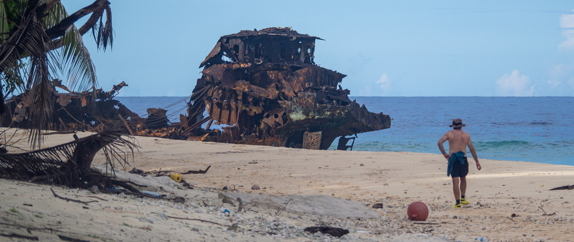
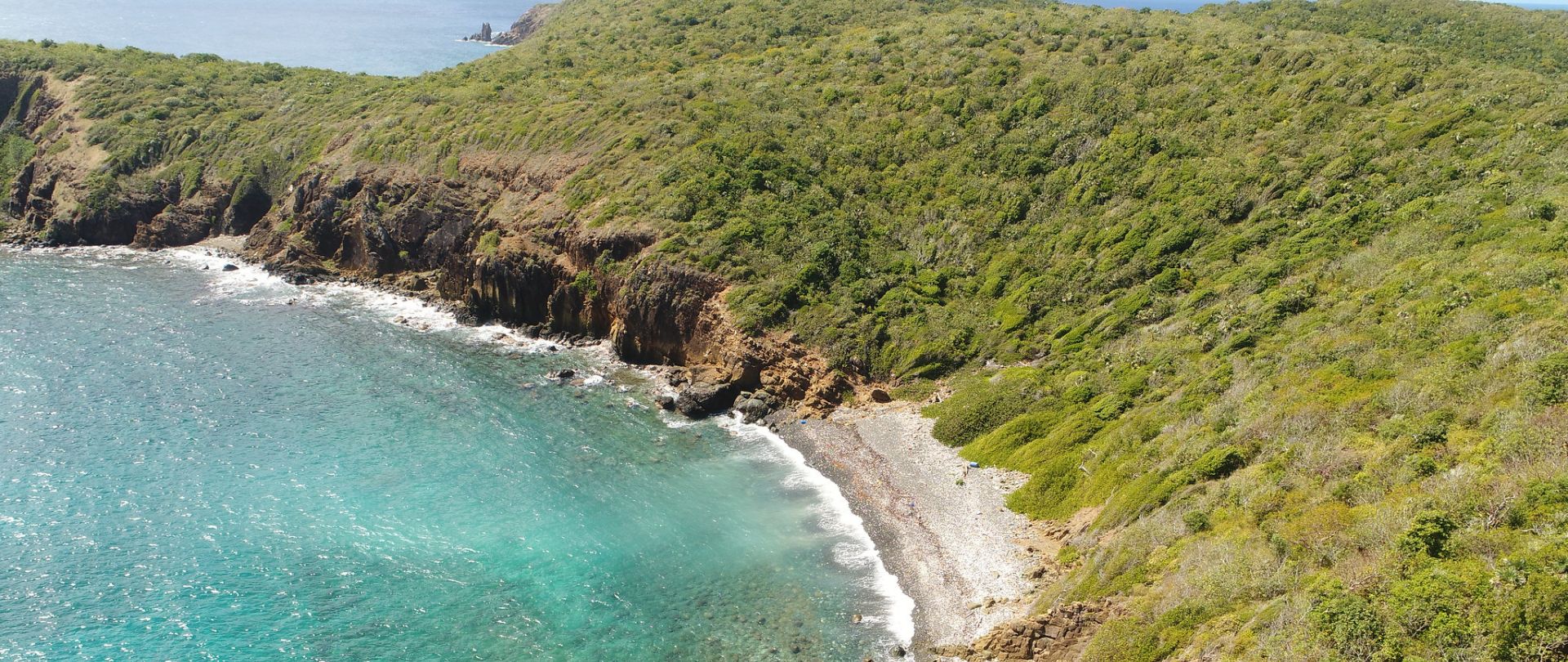
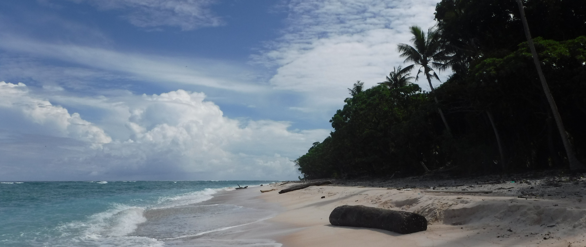
The project to restore remote islands in the Republic of the Marshall Islands (RMI) was always going to be tricky. These are some of the most remote places in the world—which accounts in part for why I had access to so little information about them. Writing the project webpage for Bikar Atoll on the Island-Ocean Connection Challenge’s (IOCC) website was a challenge, as photos and info on its environment proved elusive. I found myself reading over a turtle survey from 1992, slowly falling in love with this faraway landscape and wondering why this was all we had.
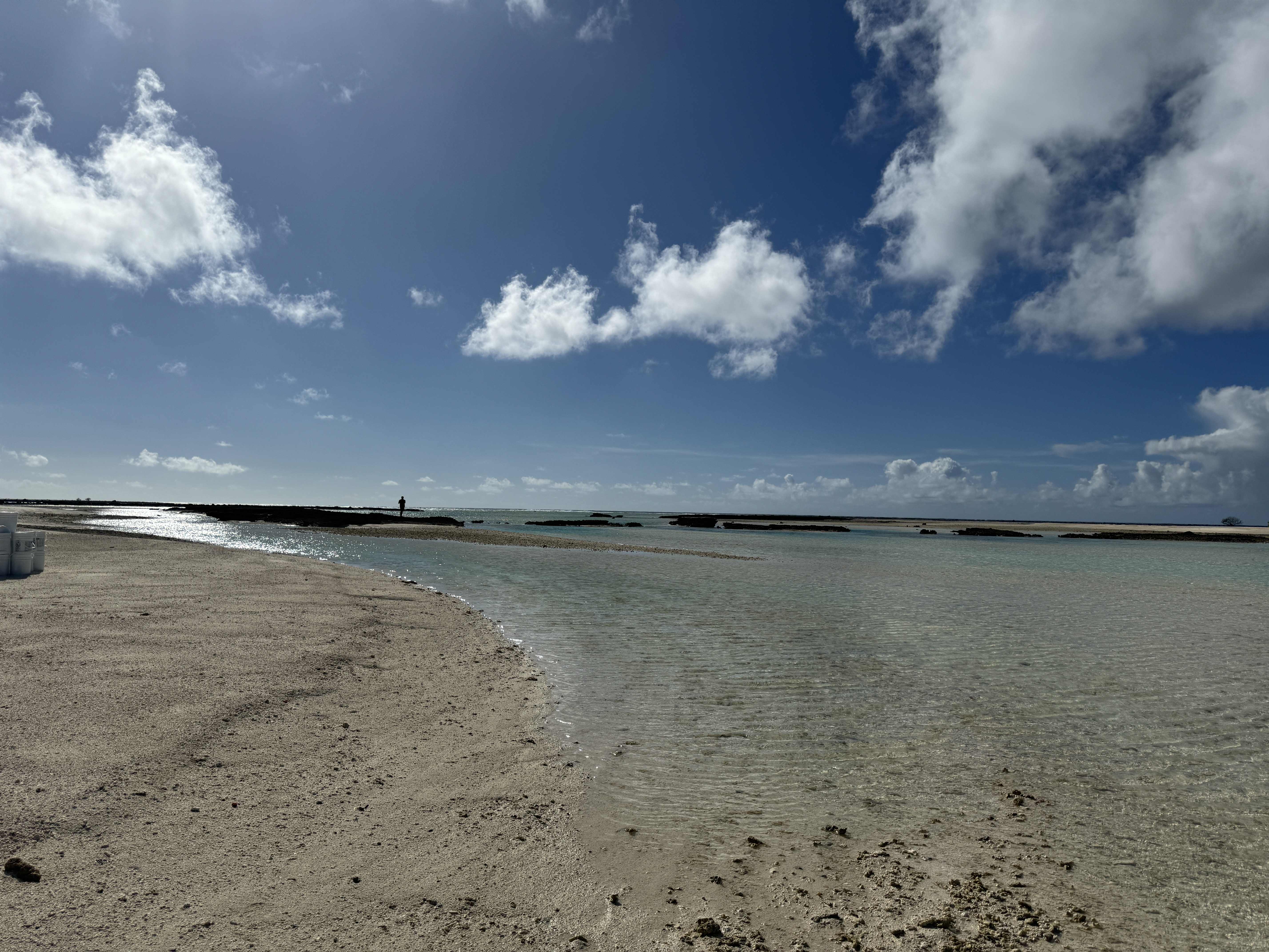
“Landscape” may not be the right word. Like other Pacific atolls, RMI is best described as a “Large Ocean State”–an alternative term to “Small Island Developing State” that emphasizes the power of the ocean in its economy, environment, and cultures. As a Fijian-American, I thought I understood the urgency of environmental conservation to protect our vulnerable Pacific Islands from climate change. But where Fiji is very mountainous, coral atolls like those that make up RMI are flat, with an average elevation of 2 meters (7 feet).
Everyone involved in this project understood that exigency. But it wasn’t until we got out to the project sites that we learned exactly how far we were willing to go.
When I arrived, two of Island Conservation’s Island Restoration Specialists, Paul Jacques and José Luis Herrera, had already been in RMI for several weeks. Soon, I met the incredible local partners who were supporting the mission: Absalom Edwards from the Marshall Islands Marine Resource Authority, Byrelson Jacklick from the RMI Ministry for Natural Resources and Commerce, and Dale Withington from Secretariat of the Pacific Regional Environment Programme.
I joined for the second half of the mission, journeying out to Jemo and Bikar to complete the operation in a key biological window, right as migratory birds were beginning to arrive on the islands for winter. The plan was to make the multi-day journey to these outer islands on the Indies Surveyor, a vessel owned by the legendary surf charter company Indies Trader, where a drone operated by a partner contractor would apply conservation bait. A first application had already been successfully completed by drone, with the powerful new technology making a remote, challenging project accessible. Island Conservation’s use of cutting-edge drone technology has helped us ramp up the scale and pace of conservation projects around the world, making it possible for us to work aerially over terrain that otherwise would be extremely difficult to traverse by foot.
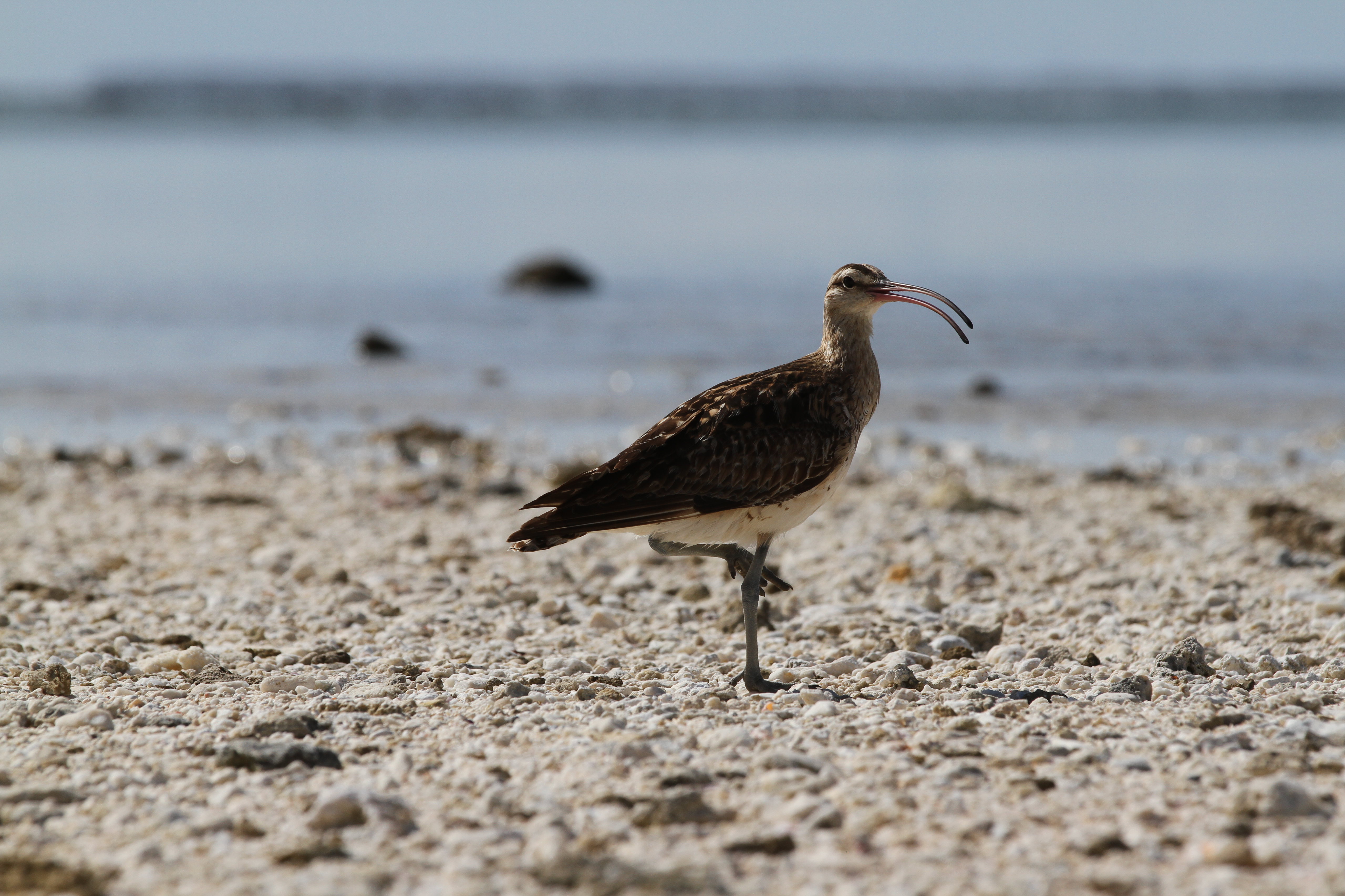
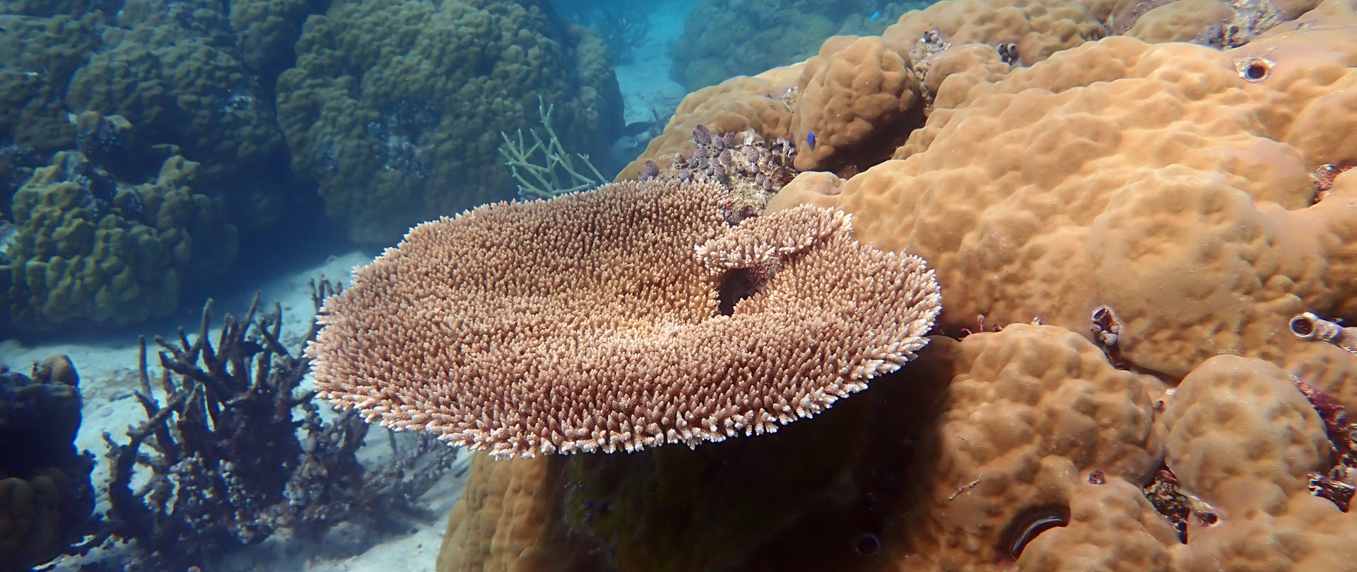
Our goal for the project is to restore the islands through the complete eradication of introduced, damaging invasive rats. Invasive rats devour crops planted by nearby communities, as well as seabird and turtle eggs and hatchlings. They destroy native vegetation, compete with native species for limited resources, and can even extirpate endemic species, sometimes causing entire ecosystem collapse. The removal of invasive rats would boost climate resilience and improve food security for the local community—without rats, seabirds could return and nest safely, bringing vital nutrients to the island from the sea that enrich soil, plants, and near-shore reefs. Such renewed ecosystems can be more resilient to extreme weather, exhibit greater genetic diversity, grow coral more quickly, and host larger populations of fish that can feed local communities.
Unfortunately, our plan to use a drone for the second application did not work out as intended. Unexpected technical difficulties prevented us from using the drone or its backup again. A frantic boat ride from Jemo Islet to Bikar Atoll, which promised the potential of an easier takeoff and landing, proved fruitless. Slowly, we realized that drones weren’t going to finish this operation.
We were now days behind schedule and our main tool to complete the mission was out of commission – our options appeared to be running out. And although our first application was completed successfully, best practice guidelines require a second application to maximize the chances of success. In the tropics in particular, the conditions for harmful invasive rodents are favorable, so performing two thorough and complete applications is the best way to increase the likelihood of a successful mission.
That night, huddled around the table for dinner, we discussed the stakes. We would not let this project fail. The inhabitants of nearby Likiep Atoll use Jemo as a gardening island, and the abundant fish there and near Bikar feed many outer islanders. People were depending on us. Baby birds and turtles were depending on us. We were running out of time—we needed a new plan, and fast.

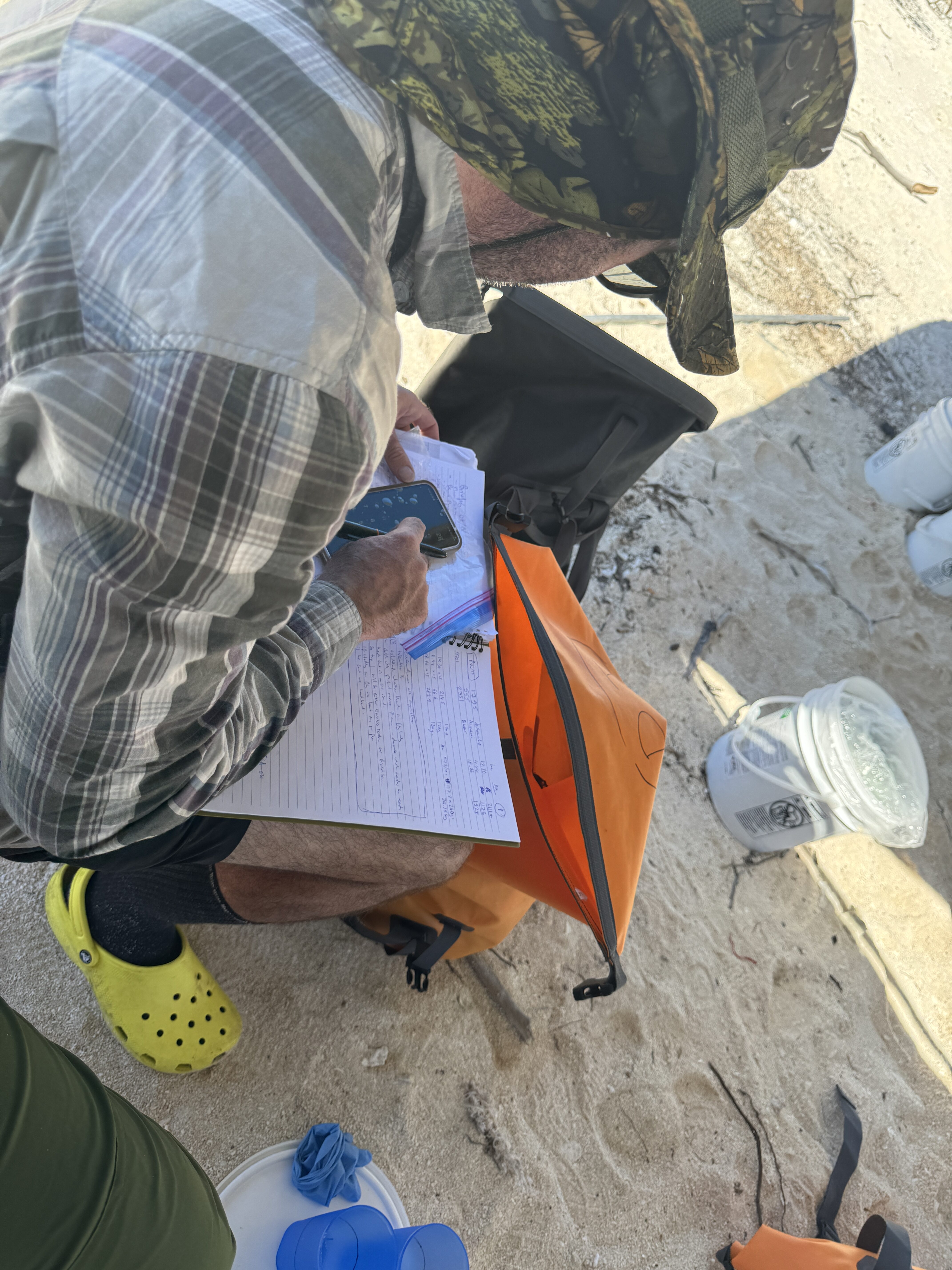
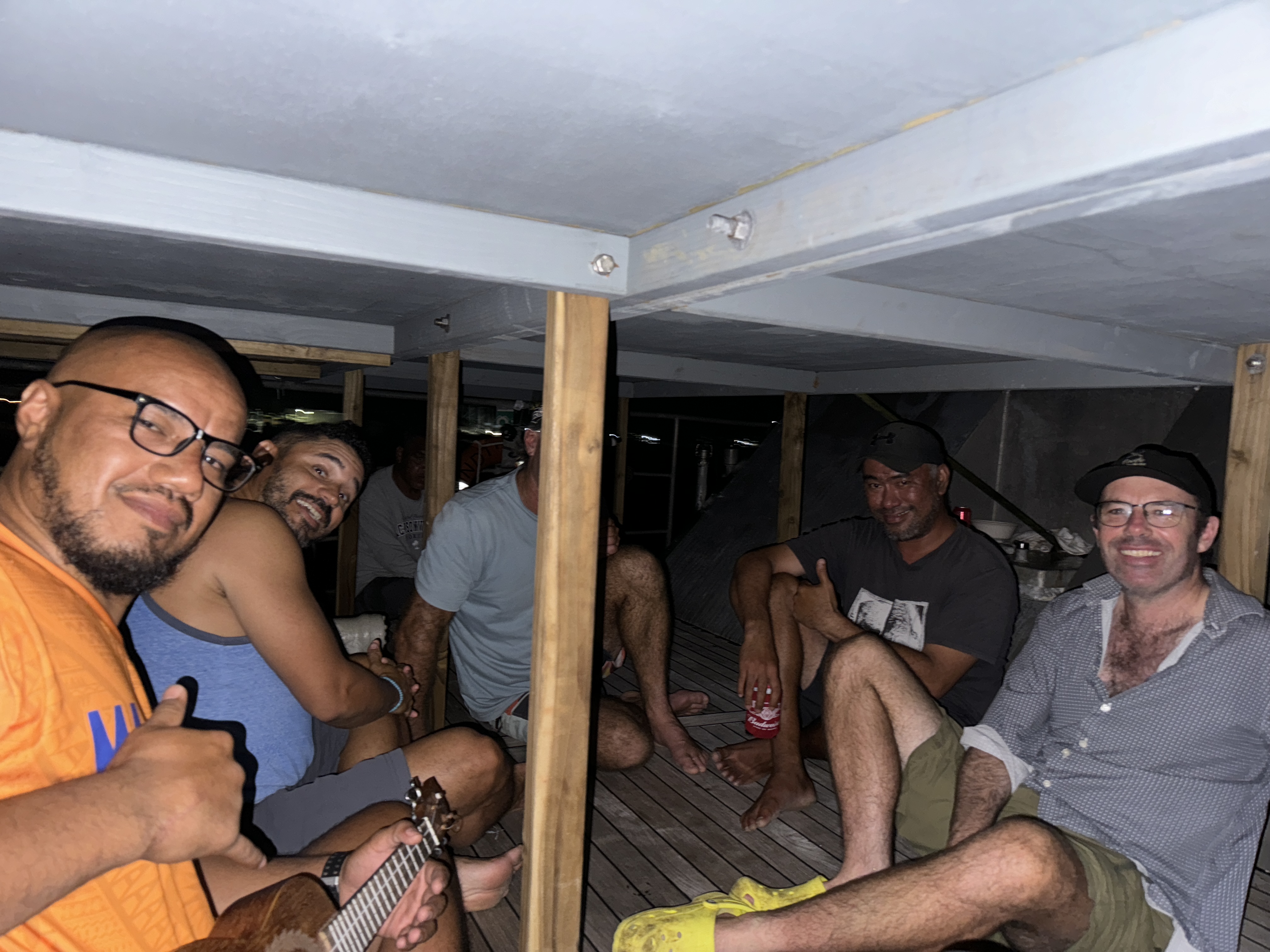
The next morning at dawn, nine people arrived on the shores of Almani, Bikar’s smallest islet. Each of us carried a 15-kg (33lb) bucket of conservation bait. Spaced 10 paces apart, we distributed the bait line by line, with three people (one in the middle and one on each end) equipped with sighting compasses. We would move 10 paces forward, distribute bait, and then do it again. We did this for 12 hours, from dawn to dusk, and managed to cover every location required.
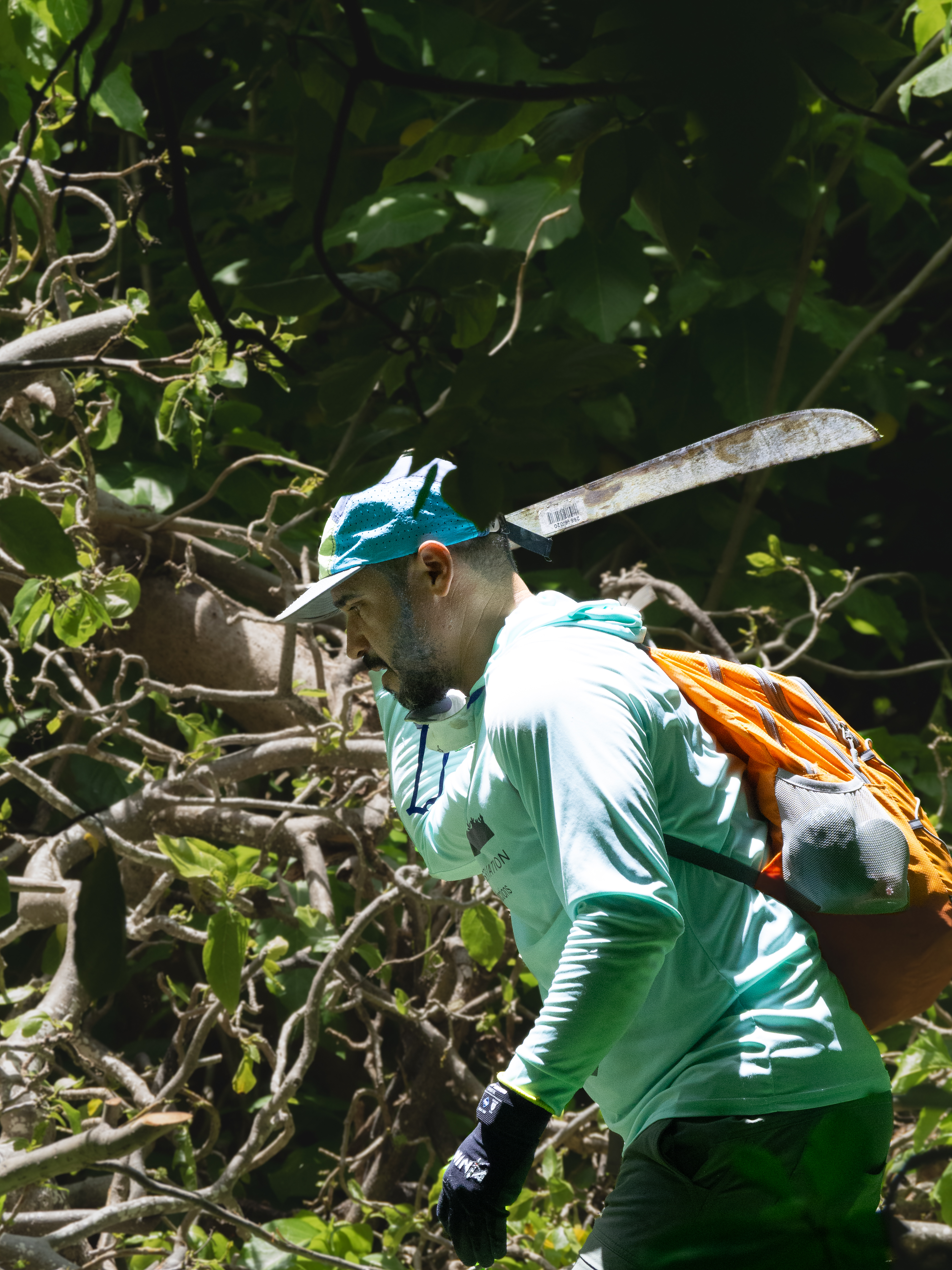
When I say “paces,” I want to clarify that we were not necessarily walking. The untouched Pisonia forest was clear in some places, but the space between trunks was often choked by Heliotropium, especially near the shore. The woody vines made movement incredibly difficult, so there was much more crawling and climbing than walking. The islands themselves are made up of sharp coral, which is not easy on the knees, and ground-nesting tropicbirds also interrupted our paths as they protected their eggs. If there is a better case for why drones are so important, I’d love to see it.
Tired, bruised, and sunburnt, we returned to the Surveyor with a sense of accomplishment. Only Paul and José Luis were technically responsible for making sure bait got on the ground—everyone else was hand-baiting only because we believed the mission was worth it.
The next day, we started by baiting the arid section of Jabwelo in the early morning before it got hot, which was less difficult mainly because it was simply less dense. But as the day wore on, we moved out of the desert, and Jabwelo’s thick forest vegetation slowed our progress. Using machetes and small saws to clear our paths, we slowly crawled across the island, keeping each others’ spirits up by listening to music, telling stories, and enjoying dips in the lagoon.
As we launched into our third day of hand-baiting, I began to understand just how extreme and strange our circumstances were—and how much we were benefiting from Paul Jacques’ incredible leadership and the team’s efforts to keep morale up. The guidance, mentorship, decision-making, and on-the-ground planning required of him was immense. Without internet access, Paul did a lot of map-drawing in the sand, splitting us into impromptu teams, and holding safety meetings. He also did a lot of innovative musical improvisation, transforming the lyrics of Bob Marley songs to suit our conditions. “Could you need gloooves?” he sang, handing out PPE. “I’ve got gloves.”
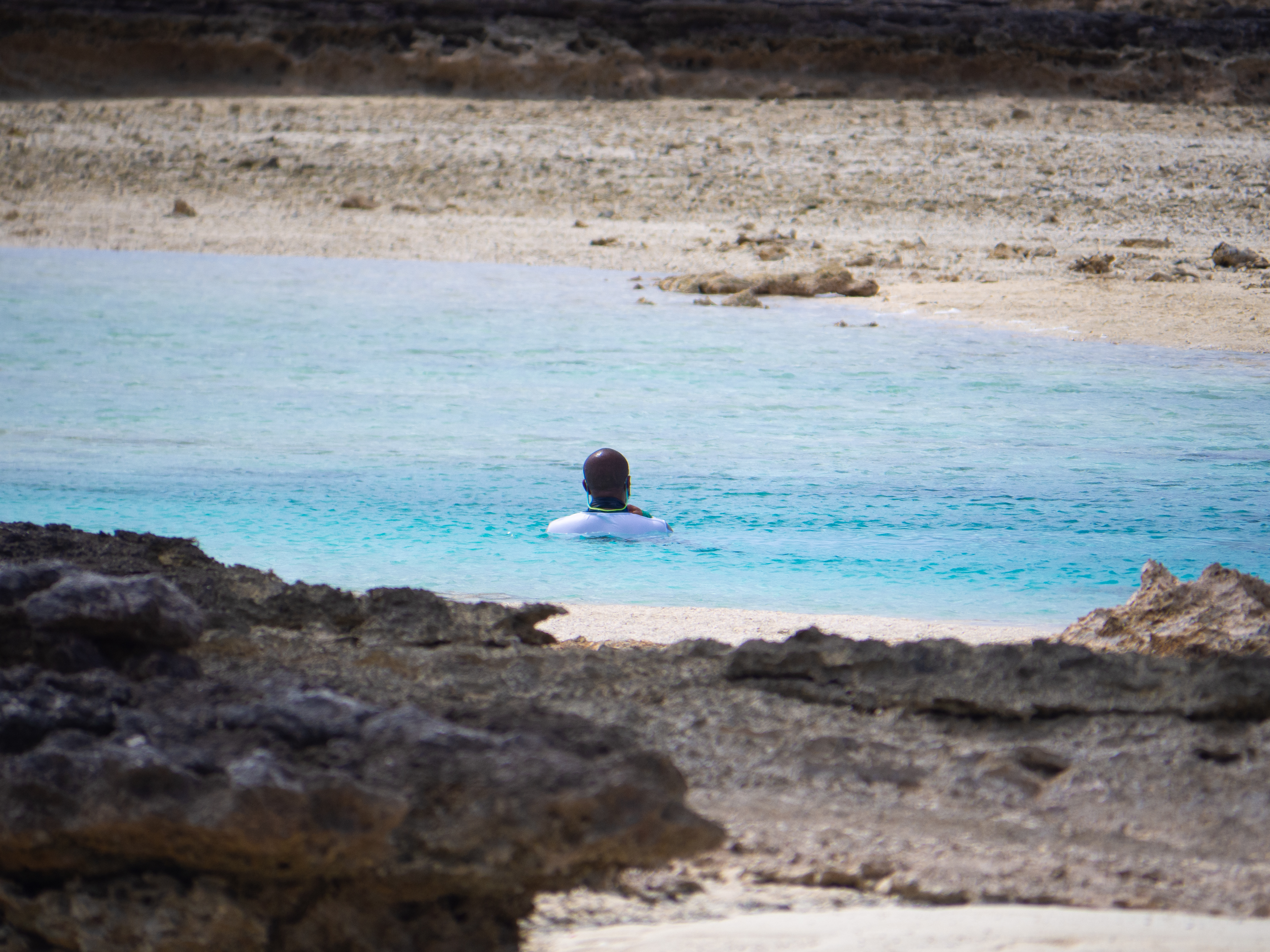
Day four, then five, of difficult manual labor. It would have been easy to feel disheartened and overwhelmed, but the team was committed to feeling joy and love—for each other, for the environment, and for the mission. We became a tight-knit family, sharing hearty meals on the beach and learning each other’s favorite songs. Every day, at least once, we would stop and stare out to sea, repeating the same breathless sentiment: aren’t we so lucky to be out here in this beautiful place?
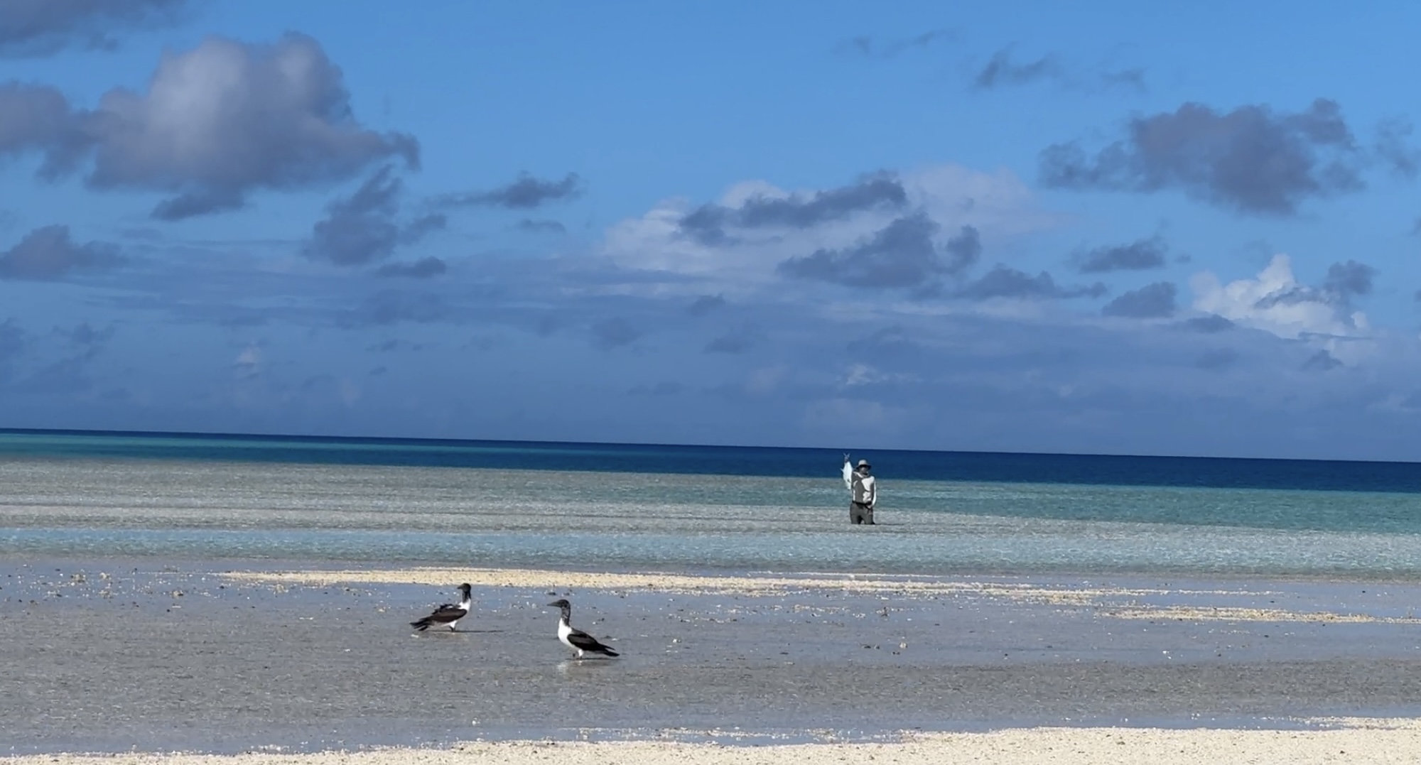
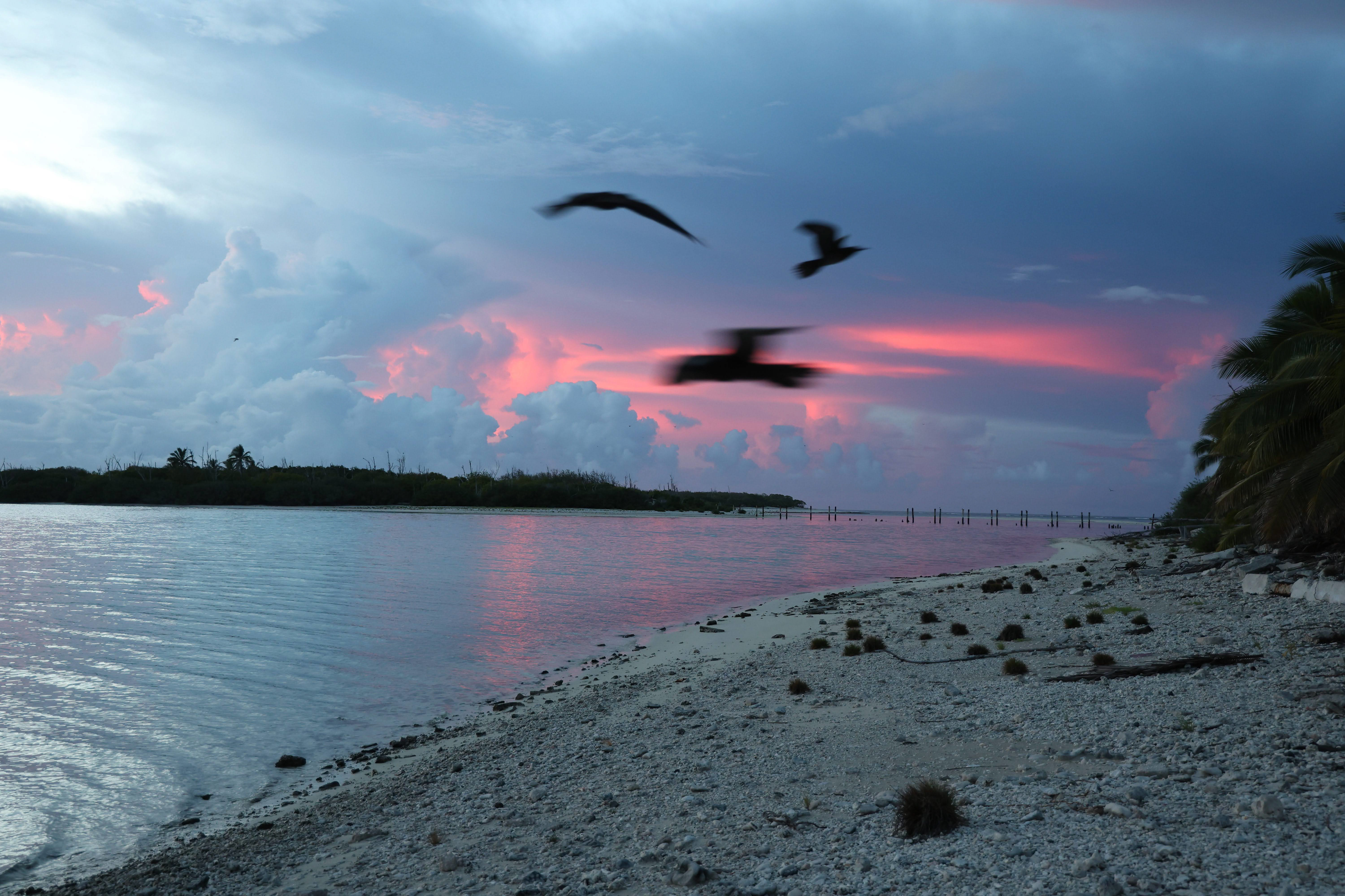
By the end of day five, we had finished Bikar Atoll down to the meter. Our work was thorough and complete. Now, it was back to Jemo for one final day. The mood on the Surveyor was almost euphoric. We were eating fresh-caught yellowfin every day, singing songs, and playing games. The drone platform at the front of the boat ended up serving a purpose after all: it was a perfect shaded area where we could sit and watch the sea.
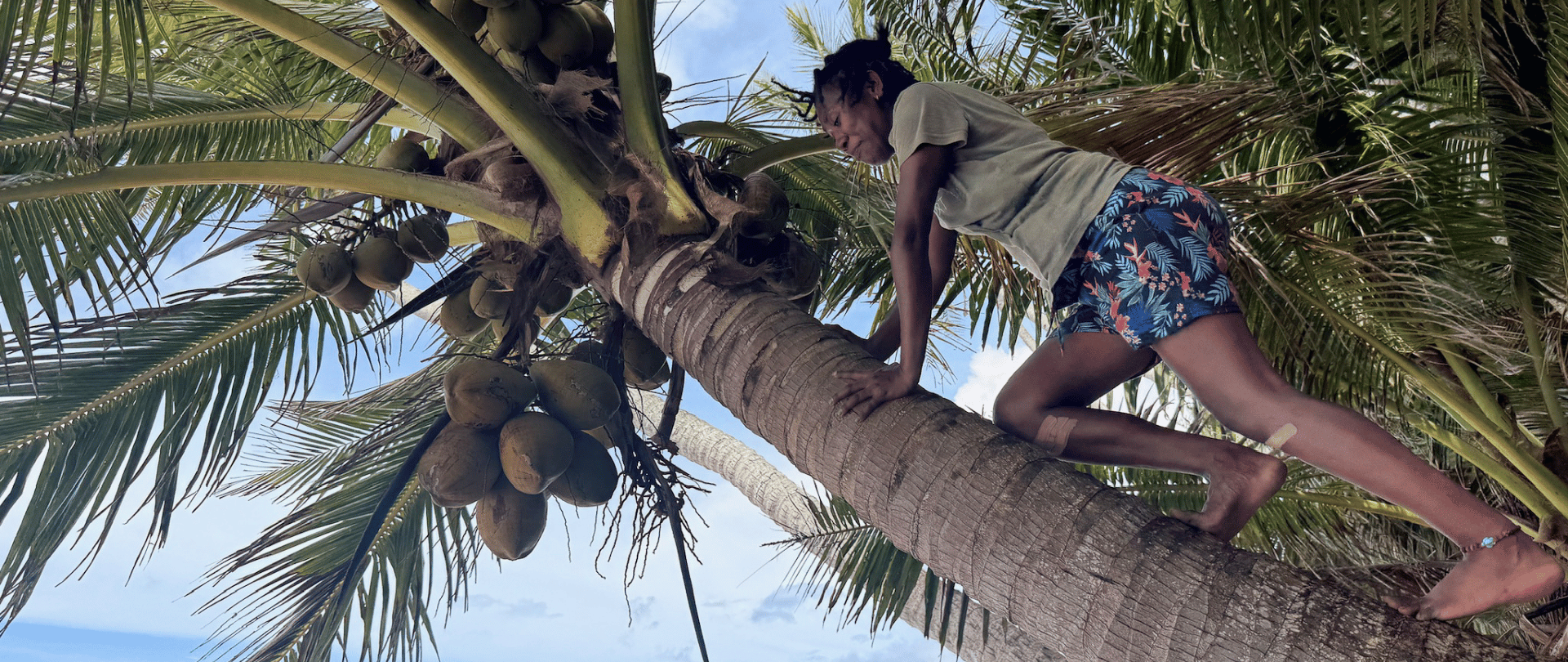
Jemo was tricky. Where Bikar has no non-native plants, Jemo acts as a gardening island for the people of Likiep Atoll, and as such is home to scores of pandanus plants. The razor-sharp leaves of these plants, which bear succulent orange fruit, were a significant obstacle. Invasive vines also choked every open space, and between them and the spiders, no one emerged from Jemo unscathed. But, with incredible grit and impressive precision, we successfully applied bait to the islet in just one day. Once again, we were reminded of how important drone technology is for conservation, grateful that the first application had been successful and that our hand-baiting operation was a one-time thing.

“I have never seen a team rise to a challenge like this crew did,” Paul wrote in the organization-wide Island Conservation group chat that night. Over the course of six days, the nine of us had spread all the necessary bait across four islets, on which we saw zero signs of the invasive rats that had plagued them before (evidence that the prior drone-based aerial application had been effective). If the mission proves successful, these islands can expect to see renewed growth in seabird populations and increased nutrients in their near-shore marine environments.
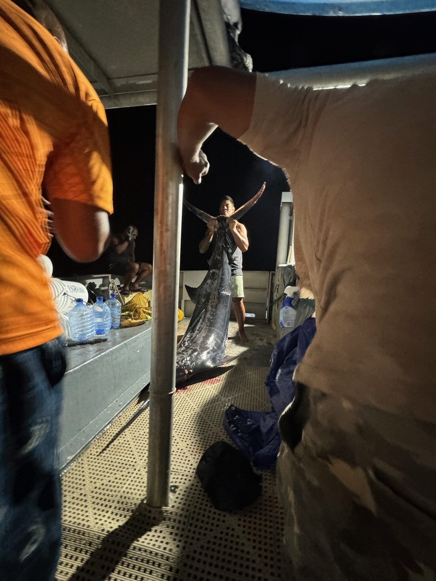
As we left the island, headed back to Majuro, a hotel, and a real shower, the sky rewarded us with a double rainbow. Later that night, the sea likewise rewarded us with the largest catch I’ve ever seen. A 40-minute fight with this monster ended in a celebratory feast and toasts to our triumph under the drone platform.
There is so much I can say about this mission, most of which I don’t have space for here. I journeyed to the Marshalls with the goal of taking photos, building partnerships, and conducting interviews, but I ended up doing true conservation fieldwork to protect a region I came to love deeply. It was a privilege to be part of a team so motivated and powerful, and that sense of accomplishment will stay with me forever.
More than that, though, I learned exactly what it takes to be a member of Island Conservation’s field team. Paul and Jose Luis’ determination and agility made a seemingly impossible project doable, and we completed our goal within the allotted time frame and with morale to spare.
If you are in search of the world’s best conservationists, I have great news: they’re here, at Island Conservation, along with our partner organizations in RMI: MIMRA and SPREP. It takes more than scientific know-how to complete a project like this—and more than raw willpower, too. It takes agility, organization, leadership, and, more than I ever thought possible, love for the people, the environment, and the work. This is the most competent and ambitious group of conservationists I have ever seen, and I am thrilled to have the honor of helping tell their stories.
To hear more amazing conservation stories like this one, subscribe to our newsletter. To support one of the most serially successful conservation organizations in the world, make a donation today!
Like all our work, this island restoration project is powered by the local community and many other partners with shared vision for a resilient future. The Ministry of Natural Resources and Commerce, Marshall Islands Environmental Protection Authority, the Marshall Islands Conservation Society, and the Marshall Islands Marine Resources Authority are partnering with international bodies (Secretariat of the Pacific Regional Environment Programme – Pacific Regional Invasive Species Management Support Service – PRISMSS, New Zealand Ministry of Foreign Affairs, Island Conservation, and OneReef) to support their vision of thriving, vibrant, resilient atolls.
Check out other journal entries we think you might be interested in.
June 18, 2026
A new project to expand the range of an endangered Tree Boa is one step closer to completion!

June 18, 2026
The Island Restoration Storytellers Circle is a new initiative designed to elevate islander voices in the global conversation about holistic restoration!
June 8, 2026
A world-first controlled experiment shows connection between seabird activity and marine health on Ulong Island!
May 20, 2026
Seasonal Monitoring Specialist Cozette Romero writes about her time working and living on Niulakita in Tuvalu, helping protect the food security and livelihood of an island community!
May 13, 2026
A new project in Sonsorol State, Palau aims to improve livelihoods and climate resilience through holistic environmental restoration!
May 5, 2026
Thrilling new tech brings conservation solutions to a remote island in the Galápagos!

April 22, 2026
Happy Earth Day! Watch our beautiful Global Impact Video and feel inspired by the power of islands to garner hope for the planet.
April 14, 2026
A historic moment: Wake Atoll is restored and thriving!
April 10, 2026
Our team is helping make waves in Tuvalu. Read about our new work on Niulakita!
April 2, 2026
Elke Windschitl shares her experience working for Island Conservation and some of the amazing artwork she created!